|
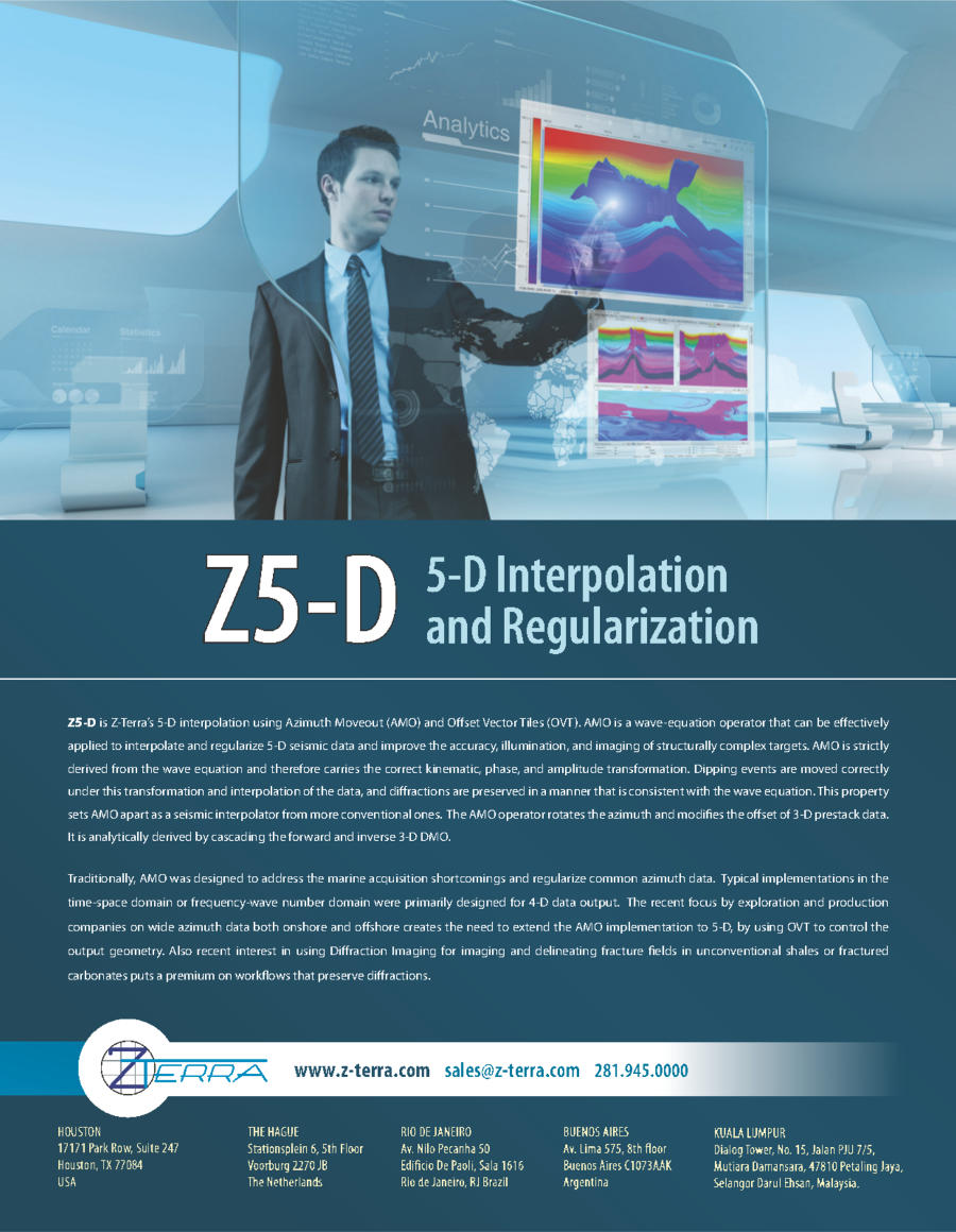
Z5-D is Z-Terra’s 5-D interpolation using Azimuth Moveout (AMO) and Offset Vector Tiles (OVT). AMO is a wave-equation operator that can be effectively applied to interpolate and regularize 5-D seismic data and improve the accuracy, illumination, and imaging of structurally complex targets. AMO is strictly derived from the wave equation and therefore carries the correct kinematic, phase, and amplitude transformation. Dipping events are moved correctly under this transformation and interpolation of the data, and diffractions are preserved in a manner that is consistent with the wave equation. This property sets AMO apart as a seismic interpolator from more conventional ones. The AMO operator rotates the azimuth and modifies the offset of 3-D prestack data.
It is analytically derived by cascading the forward and inverse 3-D DMO. Traditionally, AMO was designed to address the marine acquisition shortcomings and regularize common azimuth data. Typical implementations in the time-space domain or frequency-wave number domain were primarily designed for 4-D data output. The recent focus by exploration and production companies on wide azimuth data both onshore and offshore creates the need to extend the AMO implementation to 5-D, by using OVT to control the output geometry. Also recent interest in using Diffraction Imaging for imaging and delineating fracture fields in unconventional shales or fractured carbonates puts a premium on workflows that preserve diffractions. |
 |
5-D interpolation and regularization using azimuth moveout and offset vector tiles
- Preserve diffractions and the kinematics, phase, and amplitude of dipping events
- Eliminate migration artifacts in wide azimuth data
- Improve the results of AVO and AVAz
- Improve the results of diffraction imaging and obtain superior resolution images of small scale, complex structural details
- Wave equation consistent operator
- Aperture taper and extent constraints
- Overcome acquisition constraints: irregular acquisition geometry, low fold regions, large acquisition gaps, large bin sizes, coarsely sampled acquisition patterns, and inhomogenous surveys to be merged
- Avoid reshooting surveys
- OBC, land or marine data
- Complex geological environments
- Output offset vector tiles
- Regular or user defined output grids
- Migration in the OVT domain preserves offset and azimuth information (e.g., azimuthal anisotropy which must be incorporated for optimum image quality). Migrated azimuthal attributes are valuable for subsurface characterization (e.g., characterization of fracture orientation, fracture density, permeability, porosity, and stress characteristics). Understanding these attributes allows interpreters to optimize well placement and production
- Output sector tiles
- Output fold, offset, and azimuth constraints
- Frequency-domain output amplitude scaling
- Frequency distortion constraints
- Anti-aliasing: triangles, boxcar, M-bandpass
Intuitive Graphical User Interface
- Multidimensional data viewer: synchronously scroll through up to 9 volumes
- Basemap viewer for visualizing input data and velocity model geometry and output grid definition
- Data viewer for input/output gathers and velocity model
Efficient Parallelization
- Optimization of data distribution on parallel nodes
- Job monitoring, add and subtract nodes during runtime
- Checkpoint restart
- Adaptive runtime parameter optimization
- 64-bit, for x64-86 architecture processors (also known as x64, x64_86, AMD64, EMT64T, Intel 64)
- Red Hat® Enterprise Linux® (or compatible) 4.8 and above, 5.3 and above, 6.0 and above